
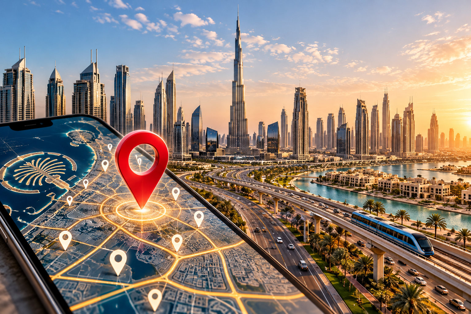
Dubai is preparing to give its streets, neighbourhoods and properties a new visual identity. The Supreme Committee for Urban Planning, Dubai’s Roads and Transport Authority (RTA), and Dubai Municipality will introduce a redesigned addressing system across the emirate.
The initiative will cover 186 areas across 19 sectors, with implementation starting in the fourth quarter of 2026 and continuing through 2030. The project brings area signs, internal street-name signs and house number plates under a unified design system. Moreover, it combines physical addressing with digital location services.
For Dubai, the project is more than a change to street signage. It comes as the city continues to expand its residential communities, commercial districts and business infrastructure.
Dubai Begins Addressing Upgrade With Five Areas
The first phase of Dubai’s new addressing identity will begin in the fourth quarter of 2026, covering Za’abeel 1, Za’abeel 2, Nad Al Sheba, Al Khawaneej 1 and Nazwa. More than 2,000 signs will be installed or replaced across these areas. This will happen as the emirate begins the wider rollout.
The initial signs will include area identification boards, internal street-name signs and house number plates. Starting with five locations allows RTA and Dubai Municipality to introduce the new system in active communities. Then, it can be expanded across the remaining areas.
The wider programme will continue in phases until 2030. Implementation priorities will be based on the development and addressing requirements of individual areas.
New Colours Will Give Dubai Areas a Distinct Identity
Dubai is also introducing a colour system designed to distinguish different areas while reflecting their geographical and environmental characteristics. Five colours will form part of the new addressing identity, giving neighbourhoods a more recognisable visual presence.
Blue will represent areas close to the sea, while gold will be associated with desert environments. This approach gives the addressing system a visual element. As a result, residents and visitors can recognise the character of different parts of Dubai.
Rather than using identical signs everywhere, the new system combines a consistent citywide design with area-specific colours.
House Number Plates Will Combine Physical and Digital Addressing
The new system will also change how individual properties are identified. House number plates approved by RTA and Dubai Municipality will display the property’s Makani number, together with a QR code.
The plates will use colours corresponding to the addressing identity of each area, linking individual properties to their wider neighbourhood. This gives the system a more connected appearance from the street level.
The addition of QR codes also brings digital functionality into the physical addressing system. This makes it possible to access additional location information through a simple scan.
QR Codes Will Provide Additional Information About Dubai Locations
The digital component of the project is designed to go beyond identifying a property. QR codes will provide access to information about sectors and areas. For instance, people can learn the meanings behind street and area names, points of interest, and other relevant location information.
The system is also expected to be incorporated into bus stops, smart applications and area map boards. This creates a broader addressing network that can work across physical signs and digital platforms.
For residents, tourists and businesses, that could make location information easier to access. They would not have to rely entirely on conventional maps or written directions.
RTA and Dubai Municipality Will Prioritise High-Growth Areas
The rollout across 186 areas will not happen simultaneously. RTA and Dubai Municipality have developed criteria to determine which locations should receive the new addressing identity first.
The criteria include urban growth, population density, the centrality and activity of an area, residential and tourist attractions, and the percentage of streets that have not yet been formally addressed.
This approach reflects Dubai’s rapid development. Areas experiencing significant population growth, new construction or increased commercial activity can require clearer addressing sooner. This is different from established communities with mature infrastructure.
A Clearer Addressing System Could Support Dubai Businesses
The addressing project also has practical implications for Dubai’s business environment. Reliable and easily recognisable addresses matter to companies dealing with customers, deliveries, logistics providers, maintenance teams and visitors.
That is particularly relevant in a city where residential communities, commercial centres, warehouses, offices and mixed-use developments continue to expand. Consequently, a clearer connection between streets, buildings and digital location information can make it easier for people and services to find specific destinations.
For businesses operating in Dubai’s free zones and other commercial districts, location clarity can become part of the everyday infrastructure. It supports deliveries, customer access and business operations.
Dubai Connects Street Infrastructure With Its Digital Strategy
The new addressing identity reflects a wider shift in how Dubai approaches urban infrastructure. Physical signs are increasingly being connected to digital services. Now, information traditionally displayed on maps or municipal systems can become accessible directly from the street.
The combination of Makani numbers, QR codes, smart applications and redesigned signs creates a system that can serve both traditional navigation and newer digital use cases.
That matters as Dubai continues to build a city where physical infrastructure and digital services increasingly operate together.
The Addressing Programme Will Continue Through 2030
The rollout represents a long-term transformation of Dubai’s addressing infrastructure rather than a one-off signage project. With 186 areas and 19 sectors included, the programme will gradually introduce the new identity across a significant part of the emirate.
The first phase in Za’abeel, Nad Al Sheba, Al Khawaneej and Nazwa will provide the initial implementation of the new designs. Meanwhile, subsequent phases will expand the system according to urban growth and addressing priorities.
By 2030, Dubai expects the new identity to provide a more consistent way of identifying its neighbourhoods, streets and properties.
For a city where new communities and commercial districts continue to emerge, the addressing system is being redesigned. This will help keep up with the way Dubai itself is changing.
Sources
- Government of Dubai Media Office — Urban Planning Committee, RTA and Dubai Municipality launch New Addressing Identity
https://www.mediaoffice.ae/en/news/2026/october/07-10/urban-planning-committee-rta-and-dubai-municipality-launch-new-addressing-identity - Emirates News Agency (WAM) — Urban Planning Committee, RTA and Dubai Municipality launch new addressing identity
https://www.wam.ae/ - Dubai Roads and Transport Authority
https://www.rta.ae/ - Dubai Municipality
https://www.dm.gov.ae/
